

- This event has passed.
PNTS Theme Day: Environmental risks and hazards: monitoring and understanding via satellite
28 May
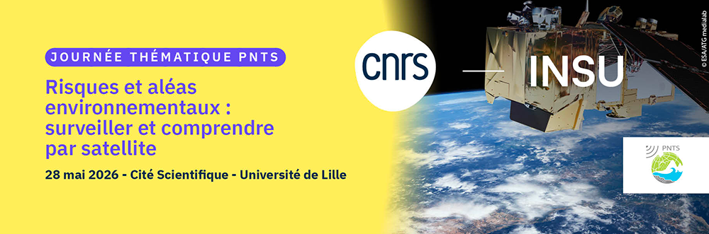
The National Space Remote Sensing Program (PNTS) is organizing its 14th Thematic Day: Environmental risks and hazards: monitoring and understanding via satellite.
Environmental risks and hazards, whether natural or man-made, pose a growing threat to infrastructure, ecosystems, and populations around the world. These phenomena include prolonged droughts, devastating floods, forest fires, landslides, and land, ocean, and atmospheric pollution. These phenomena, often exacerbated by climate change, require constant monitoring and in-depth studies to understand their mechanisms.
With their ability to cover vast geographical areas and provide regular and accurate data, satellites orbiting the Earth play an essential role in this context. They not only enable us to observe and understand risks, but also, in some cases, to anticipate them and assist in decision-making for crisis management.
This thematic day is dedicated to the presentation of work related to the use of satellite data for the study of environmental risks covering all areas of interest to the National Space Remote Sensing Program (PNTS), the atmosphere, the ocean, land surfaces, and solid earth, and aims to promote exchanges between scientists working in these fields.
The day’s program will consist of three sessions:
I. A session of six invited presentations:
NB: The order of presentations will be determined at a later date based on the flash presentations.
1. Stephen Clandillon, ICube-SERTIT-University of Strasbourg, Satellites and the mapping of terrestrial disasters.
2. Martin Claverie, JRC-ISPRA, Forecasting agricultural yields and anticipating crises using satellites: the JRC ASAP and MARS systems at the service of public policy.
3. Juan Cuesta, LISA-UPEC, Air pollution mapped from space.
4. Pascal Lacroix, ISTerre-UGA-IR, Can we predict landslides using satellites?
5. Audrey Minghelli, LIS-Univ. Toulon, Monitoring Sargassum algae using remote sensing
6. Victor Penot, INRAE-URFM Avignon, Before, during, after: remote sensing at the heart of forest fire analysis
Registration is now open for the 14th Thematic Day of the National Space Remote Sensing Program (PNTS) “Environmental risks and hazards: monitoring and understanding via satellite” which will take place on May 28, 2026 at the Cité Scientifique site of the University of Lille.The registration deadline is April 28, 2026.