The data from the final CALIPSO processing are now available!
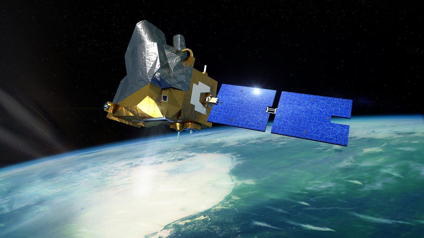
The CALIPSO (Cloud-Aerosol Lidar and Infrared Pathfinder Satellite Observation) space mission is a joint mission between CNES and NASA and was dedicated to measuring the vertical distributions and optical and physical properties of aerosols and clouds in the atmosphere. Launched into orbit in 2006, the mission ended in 2023.
The complete reprocessing of the CALIPSO mission archive has been finalized by teams at NASA’s Langley Research Center (LaRC) Atmospheric Science Data Center (ASDC). The ASDC and AERIS/ICARE archives have been synchronized and are strictly identical.
The data is accessible through the ASDC portal and AERIS.
The products and versions involved are:
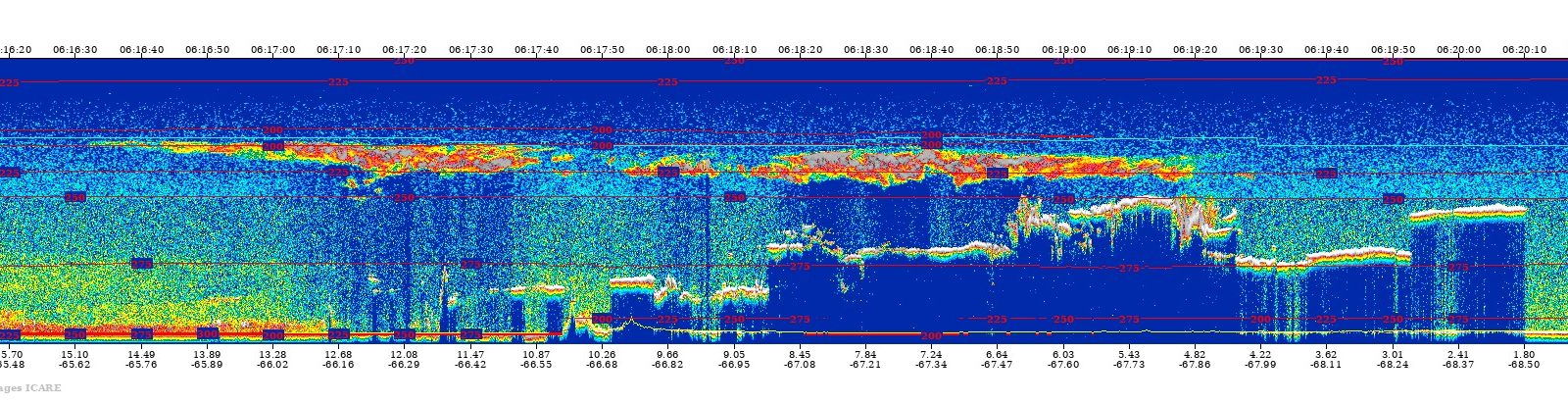
Lidar (CALIOP)
• CAL_LID_L1-Standard-V5-00
• CAL_LID_L2_01kmCLay-Standard-V5-00
• CAL_LID_L2_05kmALay-Standard-V5-00
• CAL_LID_L2_05kmCLay-Standard-V5-00
• CAL_LID_L2_05kmMLay-Standard-V5-00
• CAL_LID_L2_333mMLay-Standard-V5-00
• CAL_LID_L2_MLay_Diagnostic-Beta-V5-00
• CAL_LID_L2_05kmAPro-Standard-V5-00
• CAL_LID_L2_05kmCPro-Standard-V5-00
• CAL_LID_L2_VFM-Standard-V5-00
• CAL_LID_L2_PSCMask-Standard-V3-00
• CAL_LID_L3_Tropospheric_APro_AllSky-Standard-V5-00
• CAL_LID_L3_Tropospheric_APro_CloudFree-Standard-V5-00
• CAL_LID_L3_Tropospheric_APro_CloudySkyOpaque-Standard-V5-00
• CAL_LID_L3_Tropospheric_APro_CloudySkyTransparent-Standard-V5-00
• CAL_LID_L3_Stratospheric_APro-Standard-V2-00
• CAL_LID_L3_Cloud_Occurrence-Standard-V2-00
• CAL_LID_L3_Ice_Cloud-Standard-V2-00
• CAL_LID_L3_GEWEX_Cloud-Standard-V2-00
Infrared Imaging Radiometer (IIR)
• IIR_L1-Standard-V3-00
• IIR_L2_Swath-Standard-V5-00
• IIR_L2_Track-Standard-V5-00
• IIR_L3_GEWEX_Cloud-Standard-V2-00
Wide Field Camera (WFC)
• WFC_L1_125m-Standard-V4-00
• WFC_L1_1Km-Standard-V4-00
• WFC_L1_IIR-Standard-V4-00
An official joint ASDC/AERIS announcement will be made in the coming weeks, but you can already access and use them. Reprocessing of all downstream products supported by AERIS will follow: multi-product extractions under the LiDAR trace (CALTRACK), RADAR/LiDAR synergy products (DAR, SODA), imaging, and web interfaces.