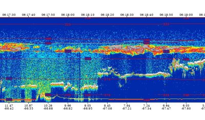
The data from the final CALIPSO processing are now available!
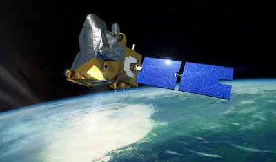
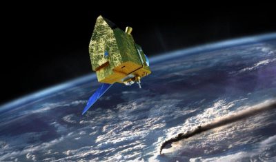
The CALIPSO (Cloud-Aerosol Lidar and Infrared Pathfinder Satellite Observation) space mission is a joint mission between CNES and NASA and was dedicated to measuring the vertical distributions and optical and […]