
The launch of SAFIRE-plus data portal
The revival of the French Airborne Research data site
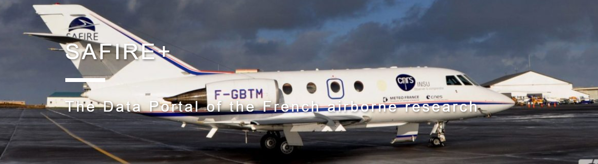
The Service des Avions Français Instrumentés pour la Recherche en Environnement (SAFIRE), a joint research support unit of CNRS, Météo-France and CNES, operates laboratory aircraft for the benefit of the scientific and technical communities. SAFIRE offers these resources and its expertise to users whose research covers the vast majority of INSU’s themes: Atmosphere, Continental and Oceanic Surfaces, Solid Earth and Astronomy. Satellite calibration-validation and aeronautical research and development also benefit greatly from SAFIRE’s resources.
Consolidated and rationalised data processing
The framework of the data measured in SAFIRE’s aircraft is now fully defined: a major project undertaken jointly by the CSTA (Comité Scientifique et Technique Aéronefs), the CNRM (GMEI/TRAMM team), AERIS (Centre de Données et de Services SEDOO) and SAFIRE has enabled the almost complete identification of the measurements and has standardised their typology, naming and coding rules, while qualifying them by quality class A robust data processing workflow has also been defined, establishing the responsibilities and prerogatives of the various participants in this processing chain, which is constantly evolving in line with scientific projects.
A clear, functional and freely accessible data portal
The SAFIRE+ data portal is now operational. Hosted and maintained by the AERIS cluster, it brings together all French public airborne data. Based on the FAIR principles, this portal allows a vast free use of airborne data, in articulation with other observation data and for the benefit of all scientific communities.
For more information, please visit www.safire.fr.
You can also contact the SAFIRE Director: Aurélien Bourdon, aurelien.bourdon@safire.fr


