
C3S Data Rescue: restoring old satellite data to improve current and future climate modelling.
At the previous COP27 in Sharm el-Sheikh, leaders recognised the need to “fill existing gaps in the climate observation system“. For example, the role of the Copernicus Climate Change Service (C3S) was recognised in the COP27 Sharm el-Sheikh Implementation Plan decision and in the decision adopted by the parties for the implementation of the Global Climate Observing System (GCOS), which recognises the “vital importance of robust Earth observation systems and long-term data records” for adapting to and mitigating the worst effects of climate change.
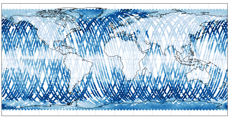
The role of the European C3S Data Rescue programme is therefore to fill the gaps in the climate data record with the creation of the fifth generation of ECMWF reanalysis (ERA5), with preparations for the next generation of reanalysis (ERA6) currently underway. The European Centre for Medium-Range Weather Forecasts (ECMWF), which implements C3S on behalf of the European Union, has a rich database of high-quality weather observations – some 25 million measurements per day are currently assimilated into the operational model. This work began in 2011 with the EU’s European Reanalysis of Global Climate Observation (ERA-CLIM) project, which involved partners such as EUMETSAT and the UK Met Office. These efforts led to the creation of ERA5 and C3S. A consortium was created to carry out this data recovery and reanalysis work under this European programme with EUMETSAT for uncertainty characterisation, recalibration and reprocessing, and with Spascia leading a consortium of contractors including the University of Reading, AERIS/ICARE Data and Services Centre, Météo France/CNRM, Met Office and Absiskey who are handling the satellite data rescue operations.

Many challenges have accompanied this data reanalysis work because (i) some pre-1979 satellite data sets are lost or unusable because they are stored on aging media that are no longer easily readable; (ii) the collective knowledge of these old satellite missions is fading with the retirement of mission scientists and the loss of documentation, and (iii) often a great deal of work is needed to bring the data to a level where it can be assimilated.
Thus C3S is currently processing satellite data records dating back to the 1960s for the sixth generation of ECMWF ERA6 reanalyses and beyond. The data reprocessed by EUMETSAT, focusing on long-term operational missions, has already been shown to improve the accuracy of these reanalyses.
The ICARE/AERIS Data and Service Centre is providing very important work in the C3S Data Rescue programme, reformatting the data released by NASA into a common format accessible to all (NETCDF) and providing storage for the C3S data and website. The work of recovering and reformatting the data is time-consuming and sometimes requires reverse engineering to understand the data in old formats. In addition, these satellite data are sometimes poorly or not at all documented (or contain low-level documentation) and are often tainted by errors in the geolocation of measurements, unlike current satellite data, which makes the task of the engineers even more difficult.
New instruments from satellite missions will be integrated into the new reanalysis phase of the project planned for 2024.


