Greenhouse gas data from EM27 instruments available in AERIS
Scientific context:
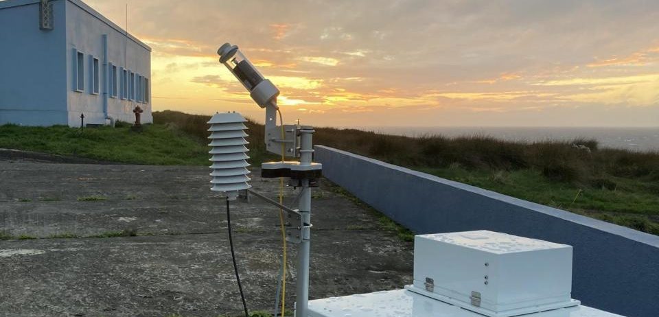
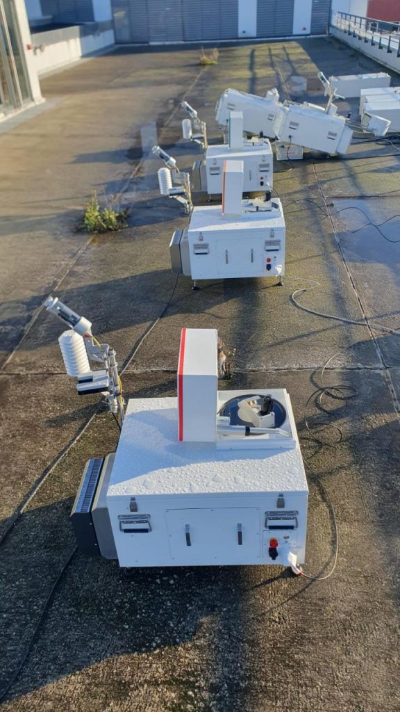
Measurements of total CO₂ and CH₄ columns from the ground using solar-pointing FTIR remote sensing
serve three purposes:
- to measure regional GHG enrichments in the atmosphere in response to surface emissions
- to contribute to the validation of total column measurements from space (e.g. S5P/TROPOMI, OCO-2, MICROCARB, etc.)
- to contribute to the validation of atmospheric transport models (e.g. CAMS model)
The project aims to archive and promote the measurements of total columns of CO₂, CH₄, CO and H₂O taken with EM27/SUN spectrometers by the French consortium comprising the LSCE, GSMA, MONARIS, LMD and CNES laboratories. The stations using these instruments are:
- Amsterdam Island,
- Saclay
- Jussieu
- Atlas Mohammed V – Morocco
- El Alto Airport – Bolivia
- Gonesse
- Kourou (agronomic campus) – French Guiana
- Reims (Moulin de la Housse)
Contribution of AERIS/SEDOO
The AERIS/SEDOO data centre has set up the storage and access of data related to the EM27 project. This work was carried out in close cooperation with a scientist from the LSCE who is responsible for retrieving and depositing data in our database.
These data are accessible in the AERIS catalogue, where several metadata records have been created, bringing together the CAMS and GG20 level 2 data from all stations using EM27/SUN spectrometers.
For further information, please contact the project PI:
Michel Ramonet
michel.ramonet@lsce.ipsl.fr