GIIRS-B Data are available in AERIS
As part of the preparations for future observations by the IRS (InfraRed Sounder) satellite instrument to be launched on board the MTG (Meteosat Third Generation) satellite in the near future (August 2025), in geostationary orbit with good temporal resolution (measurements every 30 – 45 minutes over Europe) and spatial resolution (4km x 4km pixel), data from the GIIRS-B geostationary instrument, currently providing hourly observations over Asia (Zeng et al, 2023) have been and are being retrieved daily by the AERIS/SATMOS data centre in Lannion and made available by AERIS through its AERIS/ESPRI Data and Services Centre. These data are now available, an announcement and a link on the data will be specified very quickly.
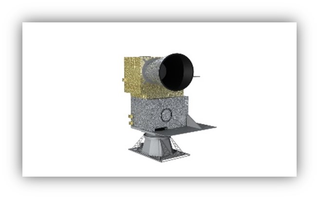
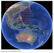
Work on GIIRS-B (Geostationary Interferometric Infrared Sounder) data on the FY-4B satellite will help to prepare for IRS-MTG observations and to understand the contribution of geostationary satellites to the detection of space-time variability of NH3 and Land Surface Temperature (LST), a tracer of urban heat islands, as well as to the understanding of urban particulate pollution events involving NH3 and temperature. A thesis on the analysis of the contribution of geostationary satellites to the observation of ammonia concentrations is in progress, using GIIRS data in this context. A map of the total NH3 columns measured over Asia is shown in Figure 2.

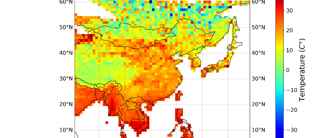
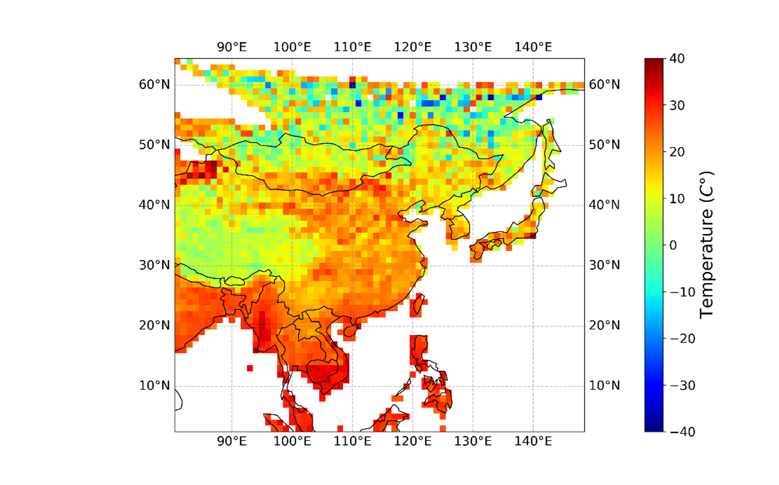
An example of an LST study being prepared at LATMOS is shown in Figure 3. This study is part of a project entitled Ground Temperature from Geostationary Infrared Sounders (GISkin), funded by PNTS-INSU, which aims to develop LST products from GIIRS and IRS. In this figure, a neural network is used to generate an AI model of surface temperature. This model is trained using IASI data as the target. This study is a proof of concept that will be used to produce an LST IRS product. The study is due to be published in 2025.
*Zeng, Z.-C., Lee, L., and Qi, C.: Diurnal carbon monoxide observed from a geostationary infrared hyperspectral sounder: first result from GIIRS on board FengYun-4B, Atmos. Meas. Tech., 16, 3059–3083, https://doi.org/10.5194/amt-16-3059-2023, 2023.